

SatLab Geosolutions
SatLab Geosolutions provides high-precision GNSS positioning and autonomous hydrographic survey platforms. Their unmanned surface vessels are designed for efficient shallow-water bathymetric surveys and coastal mapping.
Platforms(4)

HydroBoat 1200MB
The HydroBoat 1200MB is SatLab's latest USV multibeam solution, integrating proven unmanned vessel technology with the HydroBeam M2 MBES. It is designed for precise multibeam mapping, achieving high accuracy in narrow and obstacle-dense waterways.
HydroBoat 1500
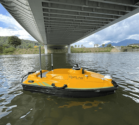
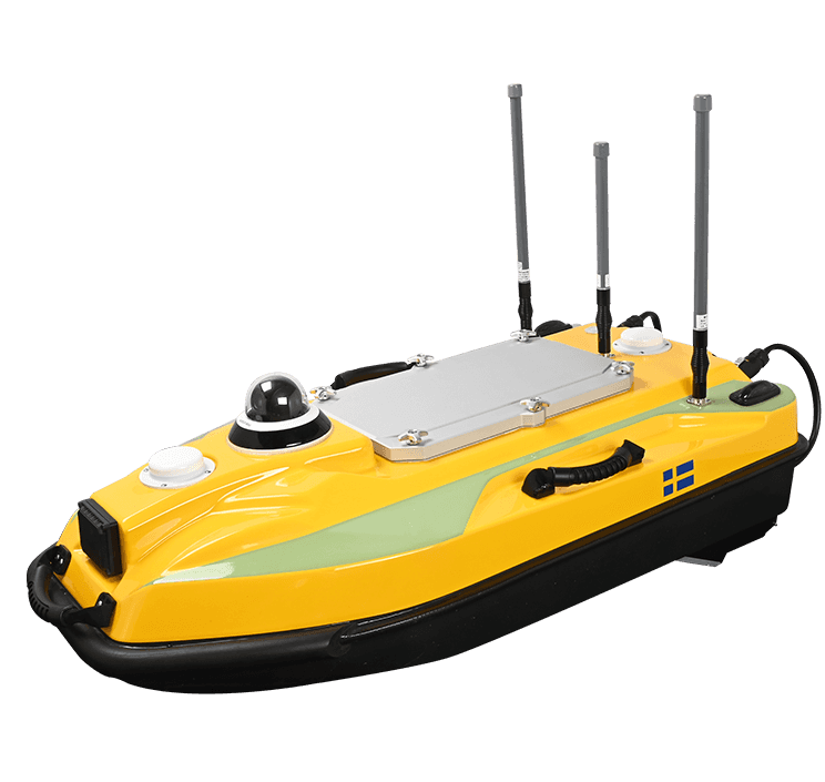
The HydroBoat 1500 is a versatile USV designed for underwater topographic surveys in lakes, rivers, and reservoirs. It features a robust hull with IP67 waterproofing and is driven by four powerful thrusters, enhancing its mobility and flexibility.

HydroBoat 1200
The HydroBoat 1200 is a multipurpose uncrewed surface vessel designed for hydrographic surveying and monitoring. It features a multibeam echo sounder for precise bathymetric data collection and offers a range of 24 km with two batteries. The USV is compact and lightweight, making it suitable for various aquatic environments.
HydroBoat 990
Single-operator USV with built-in echosounder.