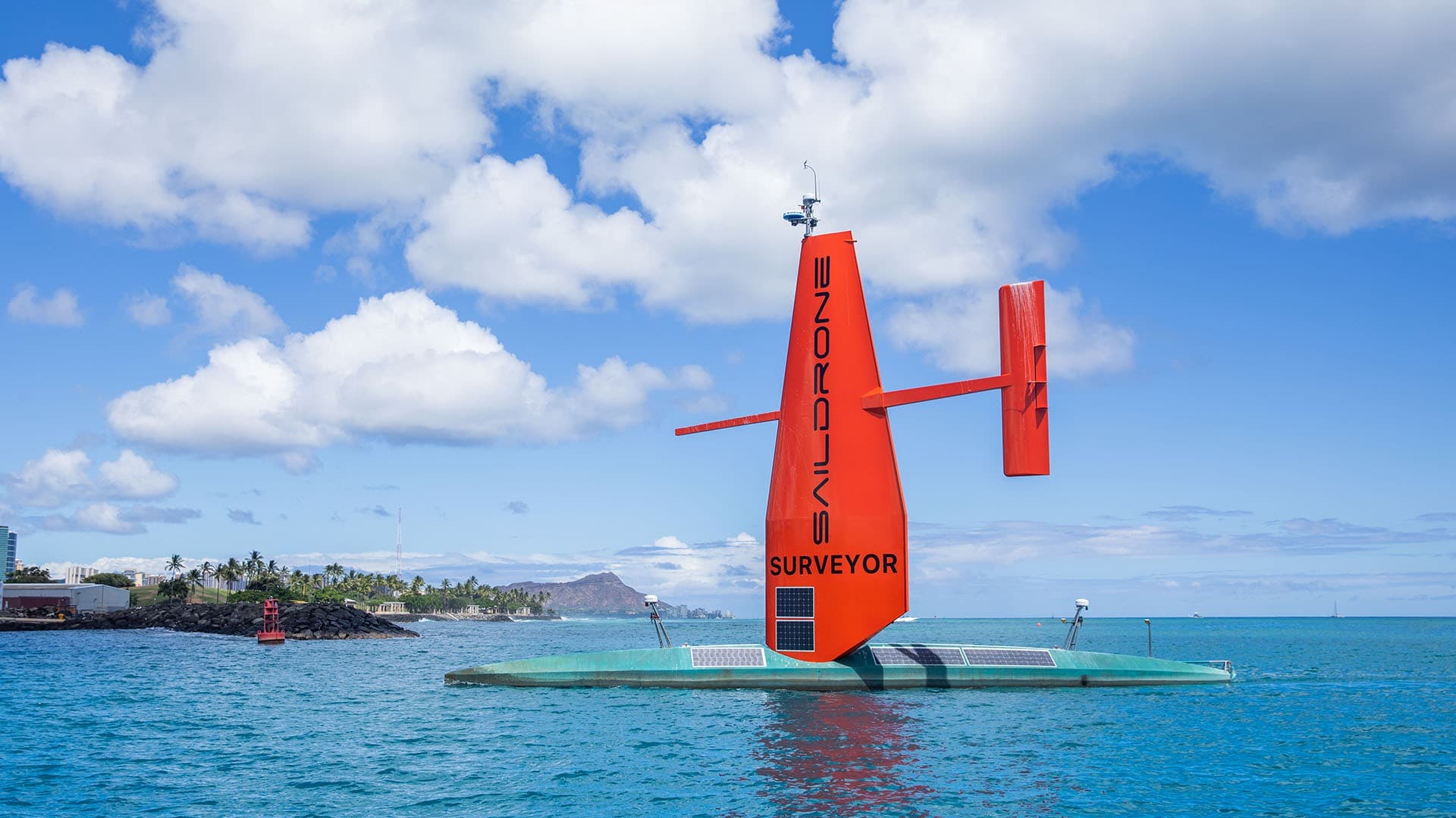
Saildrone Surveyor
Gallery
Overview
20-meter USV for persistent maritime ISR and deep-ocean mapping with renewable auxiliary propulsion.
Saildrone Surveyor is a dual-use USV platform developed by Saildrone in United States. 20-meter USV for persistent maritime ISR and deep-ocean mapping with renewable auxiliary propulsion. It is positioned for ISR, deep-ocean mapping, undersea detection, and power projection supportand is listed publicly as active. Published specifications captured in this database include a published length of about 20 m, reported endurance of 100 days between service stops, reported speed of 6 knots mapping speed, and payload information listed as 3 kW steady-state / 6 kW peak payload power. The platform is described as autonomous / supervised in terms of control and autonomy. Its concept emphasizes persistent on-water presence, modular payload integration, and lower operating burden than a comparable crewed craft.
Primary Roles
Notes
Public AIS indexes also show Surveyor-class units SD-3000 (MMSI 338432794) and SD-3001 (MMSI 338432795).
Technical Specs
Known AIS / MMSI
Public AIS directories identify this MMSI as SAILDRONE SURVEYOR, a U.S.-flagged Saildrone surface vehicle.
Public AIS directories identify this MMSI as SD-3000 UNCREWED, one of the U.S.-flagged Saildrone Surveyor hulls tracked publicly.
Public AIS directories identify this MMSI as SD-3001 UNCREWED, another U.S.-flagged Saildrone Surveyor hull.